
 EN
EN
 ar
ar bg
bg hr
hr cs
cs da
da nl
nl fi
fi fr
fr de
de el
el hi
hi it
it ko
ko no
no pl
pl pt
pt ro
ro ru
ru es
es sv
sv tl
tl iw
iw id
id lv
lv lt
lt sr
sr sk
sk sl
sl uk
uk vi
vi et
et hu
hu th
th tr
tr fa
fa ms
ms hy
hy ka
ka ur
ur bn
bn mn
mn ta
ta kk
kk uz
uz ku
ku
Inclinometer
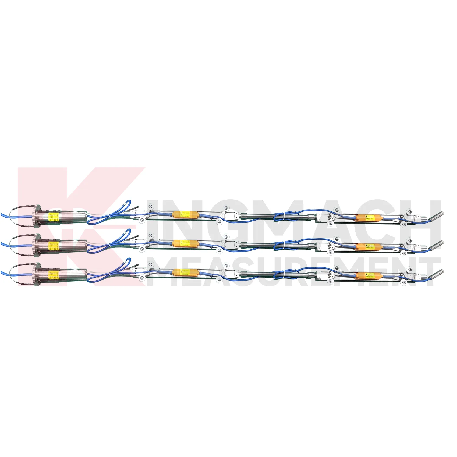
The JMQJ-7915ATS vertical in-place inclinometer system gives Kingmach Inclinometer a multi-point downhole monitoring method. The system consists of a multi-point tandem inclinometer string and an orifice acquisition module. Multiple MEMS inclination sensors are electrically connected through a single cable inside the borehole, while universal joints and connecting rods arrange measuring points according to design spacing. The system can divide sensors into up to four independent communication groups, uses automatic temperature compensation, and includes electronic identifiers for automatic recognition and intelligent calculation. Published specifications include dual-axis +/-90 degrees tilt range, 0.001 degree resolution, 0.01 degree accuracy, DC 9V to 24V operating voltage, power consumption below 0.2W, single-wire uplink communication at 1200 bps, -30 degrees Celsius to +70 degrees Celsius operating temperature, 0.35 m guide wheel spacing, about 0.8 kg weight, and IP68 protection.

Application of Inclinometer
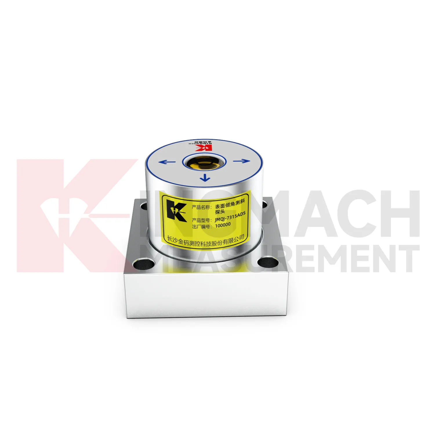
Tunnel projects use Inclinometer to observe lining deformation, invert response, station box movement, shaft walls, and surrounding ground behavior. Fixed tiltmeters can be installed on structural surfaces, while in-place inclinometer systems can measure internal movement near excavation zones or adjacent slopes. JMQJ-7315ADS has IP68 protection and RS485 output, making it suitable for wet underground environments when the cable route and cabinet are protected. JMQJ-7315RTU may be useful where wireless transmission is practical. Data review should include excavation stage, support closure, groundwater, vibration, train operation, displacement readings, and crack records. The installation file should show chainage, ring number, side, axis direction, and photographs because many tunnel points look similar after construction finishes.
The future of Inclinometer
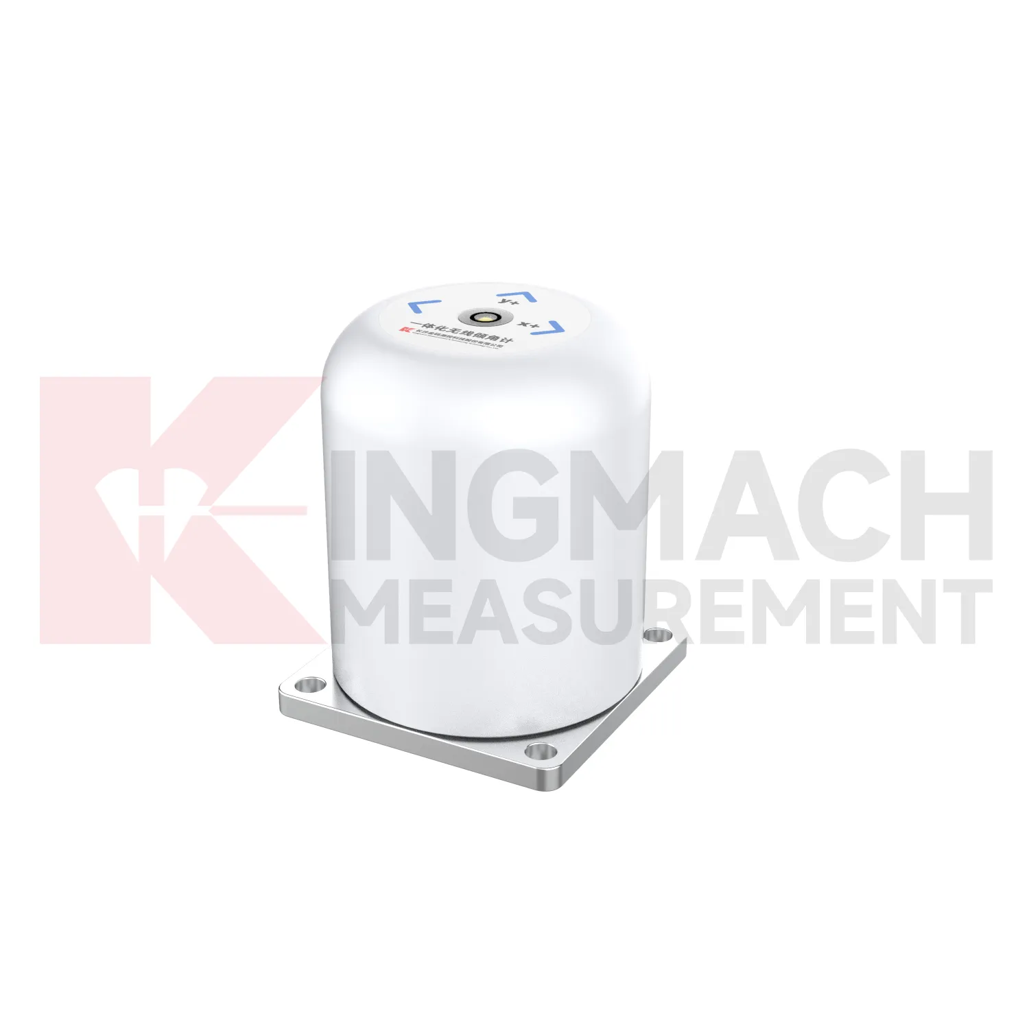
The future of Inclinometer will be shaped by cleaner digital records. Tilt monitoring often continues after the construction team leaves, so a future-ready file should keep model, range, serial number, axis direction, baseline, mounting photograph, channel address, communication mode, battery record, and maintenance notes together. Kingmach products already include electronic codes, digital communication, 4G output, and acquisition modules that can support this direction. The next step is making those records easy to hand over from contractor to owner. A tilt curve without installation context can be difficult to interpret years later. A tilt curve with a clear instrument history can support inspection, maintenance planning, and engineering review across the full service life of the structure.
Care & Maintenance of Inclinometer
Baseline maintenance for Inclinometer should be treated as a controlled record. The first value should be taken after the sensor, bracket, borehole string, or casing has stabilized. Do not reset a baseline silently when a curve looks inconvenient. If the point is moved, recalibrated, repaired, or replaced, keep the old value, new value, date, reason, technician, and related photographs. For in-place inclinometer systems, record depth position and group communication information. For sliding inclinometer work, keep the casing reference and reading direction consistent. A visible baseline history makes long-term tilt data easier to defend during review, especially when monitoring extends across construction stages and ownership handover.
Kingmach Inclinometer
Kingmach Inclinometer help turn difficult-to-observe deformation into repeatable engineering evidence. Hidden parts of structures are often the hardest to judge: deep soil, buried retaining systems, bridge substructures, railway bases, foundation pit walls, and underground construction zones. Tilt measurement gives engineers a way to see angular change before visible damage becomes obvious. The product category is used in bridges, tunnels, slopes, buildings, foundation pits, geological hazard areas, railways, dams, embankments, port engineering, and other structural scenarios. The monitoring record should connect each sensor to a drawing location, axis label, baseline date, power source, communication path, and related construction activity. Without that context, even a precise angle may be hard to interpret. With it, tilt data can support timely inspection and measured engineering decisions.
FAQ
Q: What is the difference between a fixed tiltmeter and a sliding inclinometer?
A: A fixed tiltmeter monitors one installed point continuously, while a sliding inclinometer is moved through casing to build a deformation profile by depth.Q: What is the difference between JMQJ-7315ADS and JMQJ-7315RTU?
A: JMQJ-7315ADS is a wired RS485 fixed tiltmeter, while JMQJ-7315RTU integrates wireless 4G communication and battery-powered remote monitoring.Q: When should a vertical in-place inclinometer be used?
A: Use it when deep internal deformation needs multi-point automatic monitoring inside a borehole rather than occasional manual profiling.Q: What does the JMZX-4QH module do?
A: It collects measurement data from multi-point vertical in-place inclinometer strings and uploads the data through wired or wireless means.Q: How should tilt alarms be reviewed?
A: Review angle change with rate, direction, nearby instruments, weather, construction activity, and visual inspection before deciding the response.
Reviews
Andrew Lee
The visualization software is intuitive and powerful. It helps us analyze monitoring data efficiently.
Ryan Lewis
Fast delivery and excellent product quality. The accelerometers and tiltmeters are highly reliable. Strongly recommend this company.
Latest Inquiries
To protect the privacy of our buyers, only public service email domains like Gmail, Yahoo, and MSN will be displayed. Additionally, only a limited portion of the inquiry content will be shown.
Isabella***@gmail.comGermany
Hello, we are evaluating weir flow meters for a water management project. Please share accuracy deta...
Emma***@gmail.comCanada
Dear Sir/Madam, we are interested in displacement transducers and settlement sensors for a geotechni...