
 EN
EN
 ar
ar bg
bg hr
hr cs
cs da
da nl
nl fi
fi fr
fr de
de el
el hi
hi it
it ko
ko no
no pl
pl pt
pt ro
ro ru
ru es
es sv
sv tl
tl iw
iw id
id lv
lv lt
lt sr
sr sk
sk sl
sl uk
uk vi
vi et
et hu
hu th
th tr
tr fa
fa ms
ms hy
hy ka
ka ur
ur bn
bn mn
mn ta
ta kk
kk uz
uz ku
ku
gnss settlement sensors
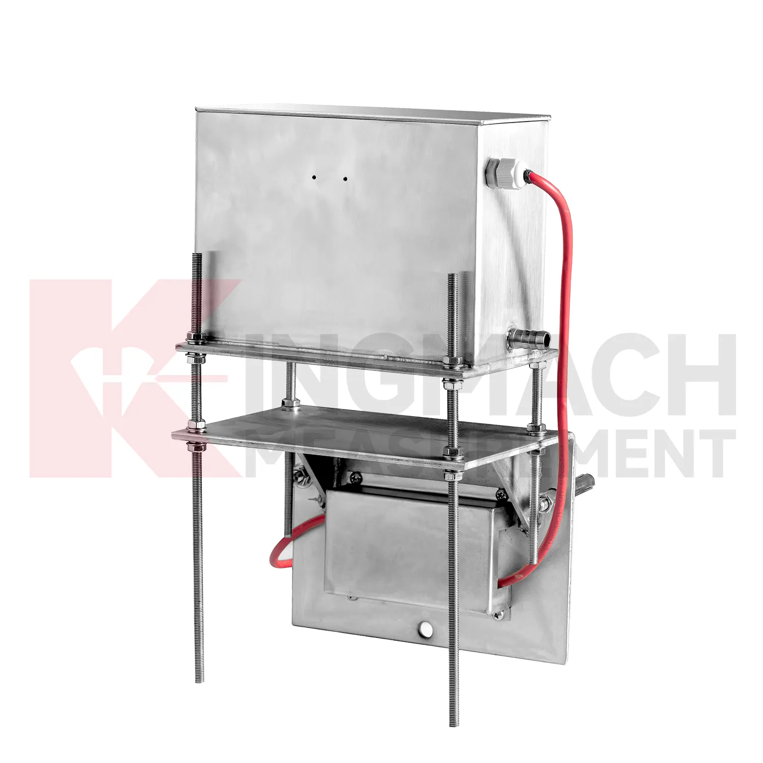
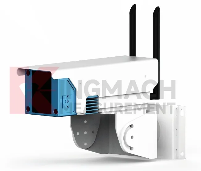
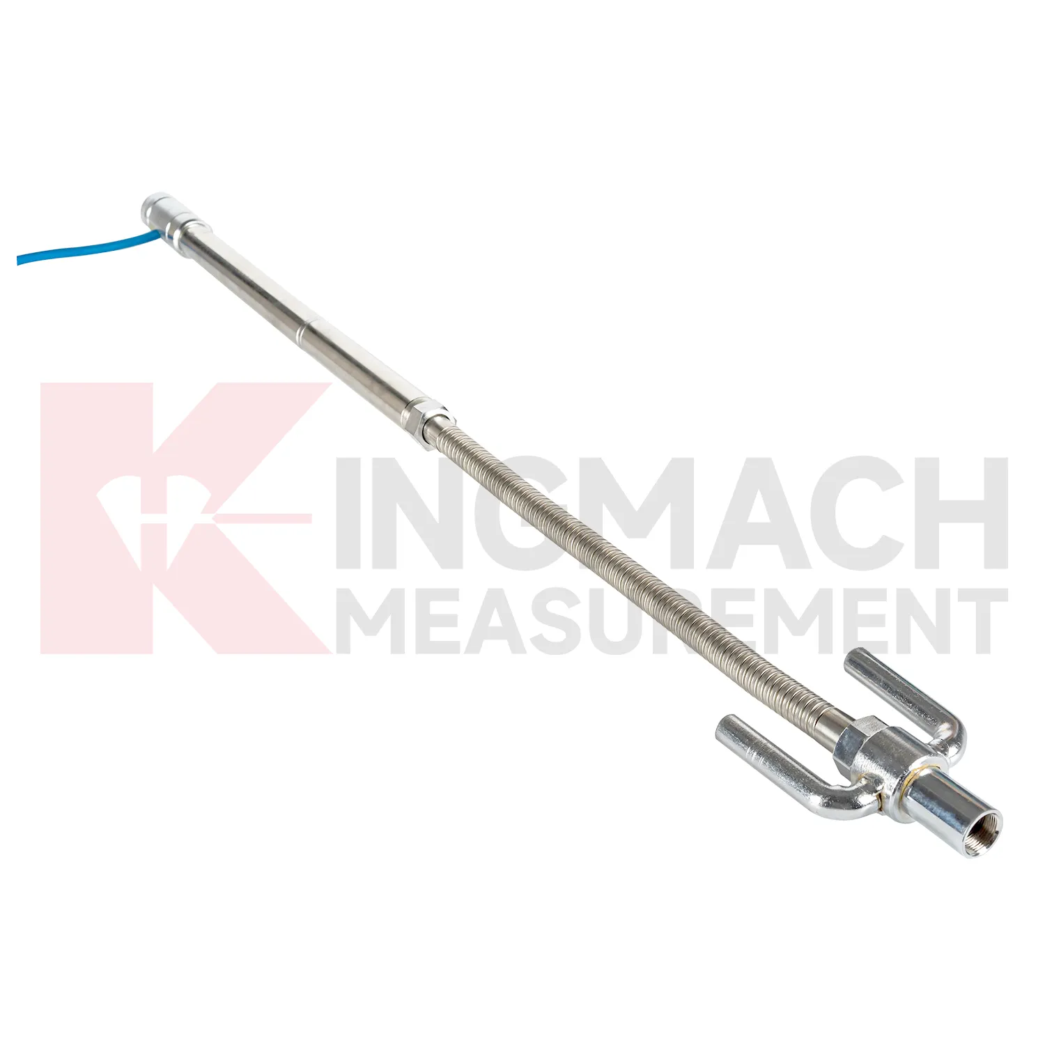
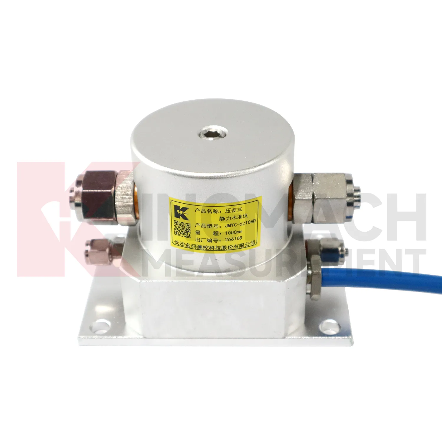
Kingmach gnss settlement sensors should be selected from the engineering question outward. If the question is pile foundation settlement or tunnel bottom uplift, an embedded single-point gauge such as JMDL-47XXAT may fit the job. If the question is bridge deflection or building settlement across several points, hydrostatic instruments such as JMDL-62XXADT or JMQJ-62XXADT can compare vertical change against a reference. If the question is large settlement during soft foundation treatment or reclamation filling, JMYC-62XXAD provides wider travel from 500 mm to 4000 mm. If the question involves layered soil settlement and groundwater level, JMCJ-1003/1005 gives a borehole-based manual method. A good specification therefore starts with movement scale, reading frequency, access, groundwater condition, reference stability, and report needs. During procurement review, engineers should check range, resolution, accuracy, output signal, installation method, and maintenance access together rather than selecting from model names alone. The acceptance record should keep model, range, reference relationship, baseline, installation detail, and channel name together for later review. The acceptance record should keep model, range, reference relationship, baseline, installation detail, and channel name together for later review. The acceptance record should keep model, range, reference relationship, baseline, installation detail, and channel name together for later review. The acceptance record should keep model, range, reference relationship, baseline, installation detail, and channel name together for later review.
Application of gnss settlement sensors
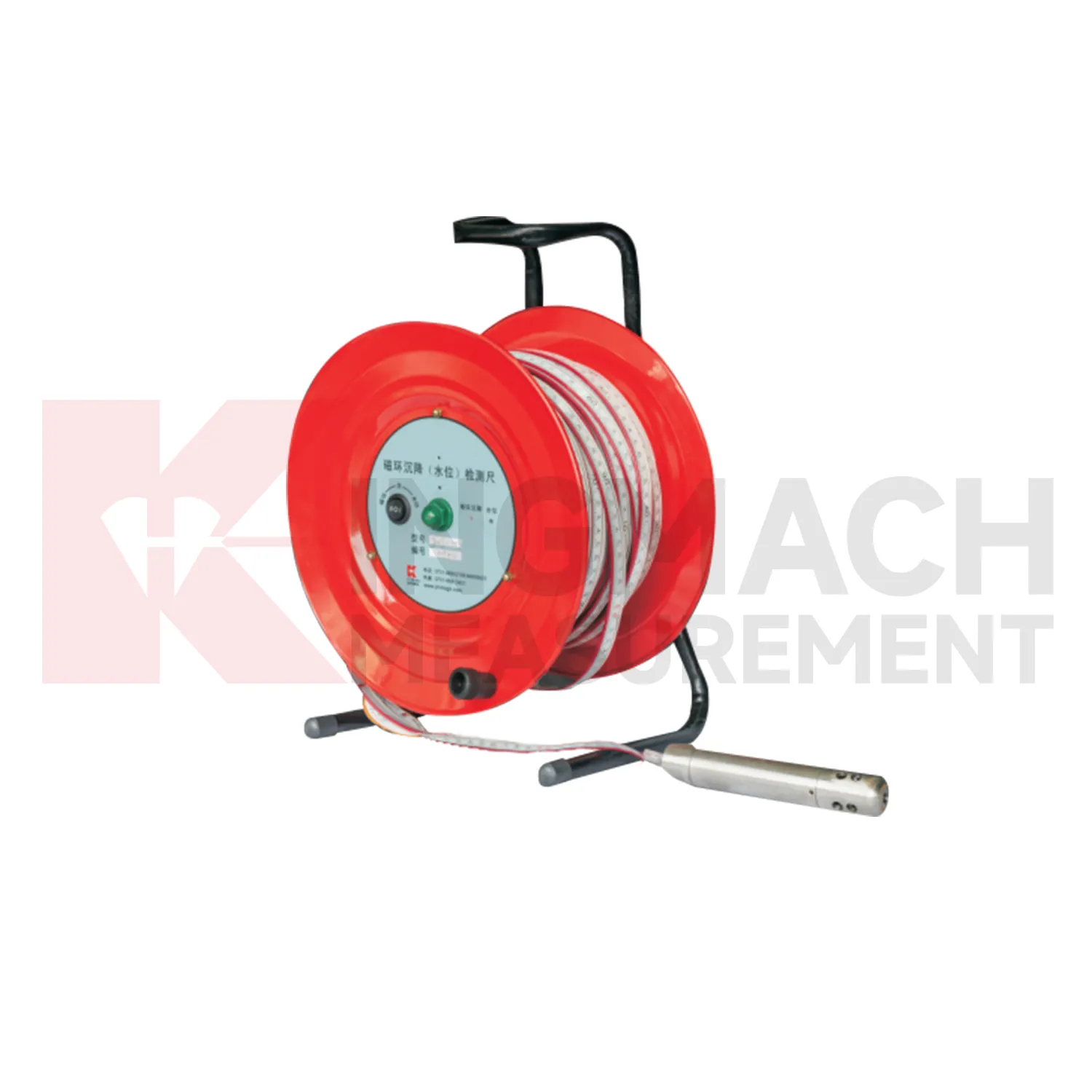
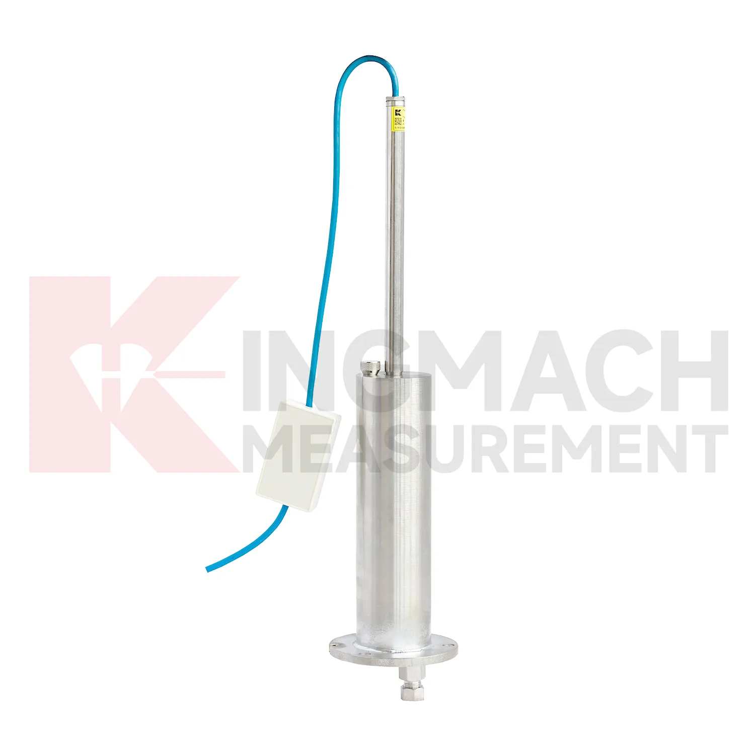
Layered soil, slope, and embankment projects often need gnss settlement sensors that can separate underground compression from groundwater variation. Kingmach JMCJ-1003/1005 magnetic ring settlement water level gauge serves that role through a probe, reel, measuring tape, magnetic rings, and water-level detection. Magnetic rings are placed at selected depths, and the probe gives audible and visual indication when it reaches a ring. Water level is detected by conductivity when the probe contacts water. Published options include 30 m, 50 m, and 100 m depths, plus or minus 1 mm accuracy, a 9V battery, and a probe about 17 cm long with 3 cm diameter. This manual instrument is useful when the engineering question is not just total surface settlement, but which soil layer is compressing. Field crews can compare ring depth, groundwater depth, rainfall, fill placement, cracks, retaining wall movement, and excavation activity. The resulting profile helps identify whether deformation is shallow, deep, water-related, or linked to a particular construction stage.
The future of gnss settlement sensors
Asset management will be a stronger future use for gnss settlement sensors. Owners of railways, highways, bridges, dams, and buildings need to know which sections are stable, which sections are still consolidating, and which points need maintenance budget. Settlement data can support that ranking when it is collected consistently over years. Kingmach products such as JMDL-47XXAT, JMQJ-62XXADT, JMDL-62XXADT, JMYC-62XXAD, and JMCJ-1003/1005 give different ways to measure vertical movement and groundwater conditions. Future asset systems can connect those records to inspection cycles, repair history, risk level, and renewal planning. The result is a settlement record that supports long-term decisions, not only construction-stage alarms. A mature asset file should show which points are healthy, which require field checking, and which have reached the end of useful instrument life.
Care & Maintenance of gnss settlement sensors
Replacement or recalibration of gnss settlement sensors must preserve continuity in the settlement record. Do not overwrite earlier data or silently move the zero value. Record replacement date, reason, model, range, serial number, reference point, first stable reading, and any change to cable, tube, cabinet, borehole, or mounting setup. If a hydrostatic reference point is moved, explain how old and new readings should be compared. If a magnetic ring borehole is repaired, note whether depth references changed. If an embedded gauge is abandoned, mark the point status clearly in reports instead of leaving a silent gap. Settlement monitoring often matters because it lasts for years, so maintenance events must be visible to future reviewers. A clean handover file should let a new engineer understand not only the curve, but also every instrument event that shaped it.
Kingmach gnss settlement sensors
Layered ground behavior is another reason to use gnss settlement sensors. Kingmach JMCJ-1003/1005 magnetic ring settlement water level gauge measures underground layer settlement and groundwater level in foundations, subgrades, foundation pits, embankments, and other underground structures. Magnetic rings are installed in boreholes, and the probe emits audible and visual alerts when it senses a ring. Water level is detected through conductivity when the probe contacts water. The listed accuracy is plus or minus 1 mm, with 30 m, 50 m, and 100 m depth options. This method gives engineers a way to separate shallow settlement from deeper layer movement while also seeing water level variation. It is especially useful when soil behavior and groundwater are tied together. If the curve changes suddenly, field teams should check reference stability, cable or tube condition, recent work, and weather before treating the value as structural movement. If the curve changes suddenly, field teams should check reference stability, cable or tube condition, recent work, and weather before treating the value as structural movement.
FAQ
Q: What is JMCJ-1003/1005 used for?
A: It is used to measure layered underground settlement and groundwater level in foundations, subgrades, foundation pits, embankments, and underground structures.
Q: How does magnetic ring settlement reading work?
A: Magnetic rings are placed underground; when the probe senses a ring, audible and visual alerts help the operator read depth from the steel tape at the borehole.
Q: How is water level detected?
A: The water level component works by water conductivity and alerts when the probe contacts water.
Q: What accuracy is listed?
A: The listed measurement accuracy is plus or minus 1 mm.
Q: What field records are needed?
A: Keep borehole number, magnetic ring depth, previous reading, current reading, groundwater level, and operator notes together.
Reviews
James Thompson
The tiltmeters and accelerometers are very sensitive and provide precise data. Perfect for our structural health monitoring system.
Daniel Brown
Excellent environmental monitoring sensors. The data is consistent, and the system integrates smoothly with our existing setup.
Latest Inquiries
To protect the privacy of our buyers, only public service email domains like Gmail, Yahoo, and MSN will be displayed. Additionally, only a limited portion of the inquiry content will be shown.
Charlotte***@gmail.comUnited Arab Emirates
Hi, we require instrumentation cables suitable for harsh environments. Could you advise on specifica...
Amelia***@gmail.comSingapore
Hello, I am looking for visualization software for monitoring system data analysis. Please let me kn...
Related product categories
- Wide-Range Differential Pressure Hydrostatic Level Sensor
- Inductive Frequency-Modulated Hydrostatic Level Sensor
- water level gauge
- water gauge water level gauge
- water gauge level
- gauge water level
- Magnetic Ring Settlement Water Level Gauge
- Optical Deflection Monitor
- Tilt Sensor
- Deflectometer
- Micro Range Hydrostatic Level Sensor
- Single-point Settlement Meter