
 EN
EN
 ar
ar bg
bg hr
hr cs
cs da
da nl
nl fi
fi fr
fr de
de el
el hi
hi it
it ko
ko no
no pl
pl pt
pt ro
ro ru
ru es
es sv
sv tl
tl iw
iw id
id lv
lv lt
lt sr
sr sk
sk sl
sl uk
uk vi
vi et
et hu
hu th
th tr
tr fa
fa ms
ms hy
hy ka
ka ur
ur bn
bn mn
mn ta
ta kk
kk uz
uz ku
ku
mems tiltmeter
Kingmach mems tiltmeter for category-level tilt monitoring are designed for bridges, tunnels, slopes, buildings, foundation pits, railways, dams, embankments, underground works, and geological hazard areas. The category includes fixed tilt sensors, integrated wireless tilt units, vertical in-place inclinometer strings, sliding inclinometer instruments, and acquisition modules. Product pages describe high-sensitivity sensing elements, real-time monitoring, strong anti-interference ability, easy installation, and adaptability to harsh environments. The practical role of the category is to observe angular change, deep internal deformation, and horizontal displacement patterns that may not be visible through ordinary survey methods. A complete tilt monitoring plan should define measuring axis, range, mounting surface, borehole depth, communication method, power supply, baseline date, and related instruments. That level of detail helps engineers interpret small angular changes without losing the connection to the structure or ground body being monitored.

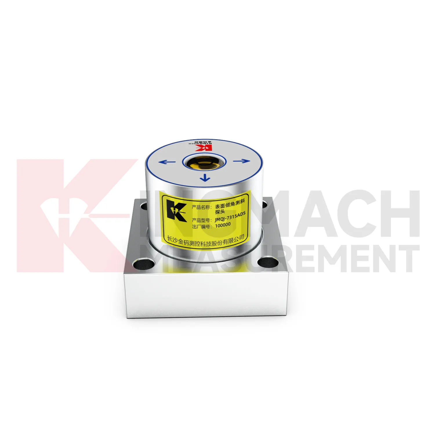
Application of mems tiltmeter
Foundation pit projects use mems tiltmeter to monitor retaining wall rotation, support system response, adjacent building tilt, and deep ground movement during excavation. JMQJ-7315ADS can track angular change on exposed structures, while JMQJ-7915ATS can monitor multi-depth deformation inside a borehole. The excavation sequence, dewatering records, support installation dates, rainfall, and nearby settlement points should be reviewed beside the tilt data. If a retaining wall rotates while pore pressure or support force changes at the same time, the pattern deserves closer site checking. A practical layout marks the positive and negative axis direction before excavation begins, protects cables from machinery, and keeps baseline readings tied to excavation depth. This helps the monitoring team separate normal staged movement from a trend that may need immediate engineering review.
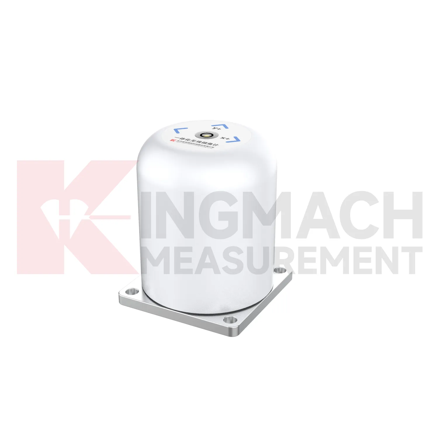
The future of mems tiltmeter
The future of mems tiltmeter will include stronger links to maintenance budgeting. Owners of bridges, railways, dams, tunnels, buildings, slopes, and towers need to rank which assets are stable and which require inspection or repair. Long-term tilt records can support that ranking when they are collected consistently and tied to structural locations. JMQJ-7315ADS, JMQJ-7315RTU, JMQJ-7915ATS, JMZX-7100L, and JMZX-4QH provide different paths for collecting angular or internal deformation data. Future asset systems can connect these records to inspection cycles, repair dates, weather events, and risk categories. The result is a tilt record that supports planning, not only construction-stage warnings.
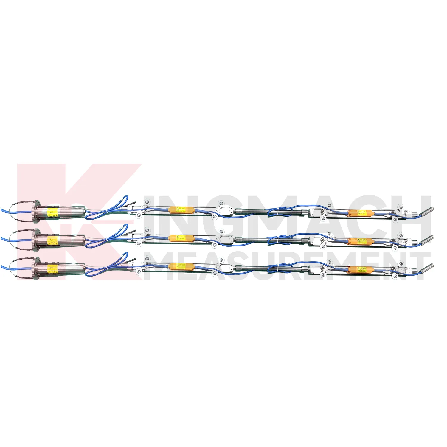
Care & Maintenance of mems tiltmeter
Temperature and environment checks help maintain mems tiltmeter accuracy. JMQJ-7315ADS operates from -30 degrees Celsius to +80 degrees Celsius, JMQJ-7315RTU from -10 degrees Celsius to +55 degrees Celsius, and JMQJ-7915ATS from -30 degrees Celsius to +70 degrees Celsius. Temperature drift, condensation, direct sunlight, ice, and cabinet heat can affect readings or communication hardware. Maintenance records should note weather, enclosure condition, ventilation, shading, and nearby heat sources. If a tilt curve moves with daily temperature, compare it with structural temperature and other sensors before treating it as deformation. Environmental review does not weaken the warning; it makes the warning more credible by filtering out explainable operating effects.
Kingmach mems tiltmeter
Kingmach mems tiltmeter help turn difficult-to-observe deformation into repeatable engineering evidence. Hidden parts of structures are often the hardest to judge: deep soil, buried retaining systems, bridge substructures, railway bases, foundation pit walls, and underground construction zones. Tilt measurement gives engineers a way to see angular change before visible damage becomes obvious. The product category is used in bridges, tunnels, slopes, buildings, foundation pits, geological hazard areas, railways, dams, embankments, port engineering, and other structural scenarios. The monitoring record should connect each sensor to a drawing location, axis label, baseline date, power source, communication path, and related construction activity. Without that context, even a precise angle may be hard to interpret. With it, tilt data can support timely inspection and measured engineering decisions.
FAQ
Q: How should mems tiltmeter be installed?
A: The mounting surface or borehole position should be stable, the axis direction must be recorded, and the baseline should be saved after the instrument settles.Q: Why is axis direction important?
A: Tilt values only have engineering meaning when the positive and negative directions are tied to the structure, slope, tunnel, or borehole drawing.Q: Can these instruments work in wet sites?
A: Several Kingmach models list IP65, IP67, or IP68 protection, but glands, connectors, cabinets, and cable entries still need field inspection.Q: What should be checked during commissioning?
A: Check model, range, serial number, communication, power, baseline, point name, mounting photo, channel address, and related site condition.Q: Can a tiltmeter be reset after installation?
A: It can be re-baselined when necessary, but the old value, new value, reason, date, and technician should remain visible in the record.
Reviews
David Wilson
We purchased displacement transducers and settlement sensors, and the quality exceeded our expectations. Easy installation and reliable performance.
Robert Taylor
The weir flow meter is well-built and delivers accurate measurements. Great value for water management applications.
Latest Inquiries
To protect the privacy of our buyers, only public service email domains like Gmail, Yahoo, and MSN will be displayed. Additionally, only a limited portion of the inquiry content will be shown.
Harper***@gmail.comIndia
Dear Sir, we are planning to procure a complete monitoring system including strain gauges, tiltmeter...
Isabella***@gmail.comGermany
Hello, we are evaluating weir flow meters for a water management project. Please share accuracy deta...