 ar
ar bg
bg hr
hr cs
cs da
da nl
nl fi
fi fr
fr de
de el
el hi
hi it
it ko
ko no
no pl
pl pt
pt ro
ro ru
ru es
es sv
sv tl
tl iw
iw id
id lv
lv lt
lt sr
sr sk
sk sl
sl uk
uk vi
vi et
et hu
hu th
th tr
tr fa
fa ms
ms hy
hy ka
ka ur
ur bn
bn mn
mn ta
ta kk
kk uz
uz ku
ku
gps data loggers
Kingmach gps data loggers are often selected when a project needs both confidence in individual sensors and organized data management. A sensor may be accurate, but the record can still become difficult to use if channels are mislabeled, upload intervals are unclear, or field notes are separated from values. Acquisition devices reduce that risk when they keep the measurement process disciplined. A readout can verify the point, a logger can continue collection, and a platform connection can support later review. This is important for dams, bridges, tunnels, slopes, buildings, mines, and civil structures where safety-related interpretation depends on a reliable time history. The device also helps teams detect management problems early. Missing intervals, repeated channel names, unexpected upload gaps, or values stored under the wrong point can weaken confidence even when the sensor is healthy. A disciplined acquisition setup gives each reading a clear origin and makes later review easier for engineers, owners, and maintenance teams. That discipline turns individual sensor signals into a usable project record. In long projects, this is important because construction teams, monitoring specialists, and asset managers may all handle the same data at different times. Clear acquisition discipline keeps their work connected. across project phases. and audits.
Application of gps data loggers
Tunnel and underground projects use Kingmach gps data loggers when sensor access is limited and monitoring records must remain dependable. Settlement points, convergence instruments, strain gauges, load cells, seepage sensors, environmental points, and vibration sensors may all require different acquisition behavior. A portable readout helps crews verify sensors during installation or inspection rounds. A logger supports unattended acquisition when access is restricted by work stages, safety rules, or operating hours. Dynamic acquisition can capture blasting, train passage, machinery activity, or short vibration events. The record should connect data with tunnel section, chainage, support type, work activity, and inspection notes so engineers can understand whether a reading reflects normal construction response or a condition that needs field confirmation. Underground monitoring also needs careful access planning. A station may sit behind temporary support, inside a gallery, near drainage, or beside active work areas. The acquisition device should keep records clear even when crews rotate or work shifts change. Section names, installation photos, sensor groups, and event notes help the engineering team compare readings with excavation progress, lining work, seepage condition, and vibration events. This is useful when tunnel monitoring continues across excavation, support installation, waterproofing, track work, and later operation. over time safely. consistently.
The future of gps data loggers
Future Kingmach gps data loggers will help owners manage mixed sensor networks. A single project may include vibrating wire sensors, digital bus instruments, temperature points, dynamic signals, environmental stations, and manual inspection notes. Future acquisition systems should make it easier to keep these records aligned by location, time, and engineering purpose. This will help reviewers understand relationships between movement, load, vibration, rainfall, temperature, and construction activity. A more organized data chain will make monitoring records easier to defend during operation, maintenance, and safety review. Mixed networks also need clearer grouping. Sensors that belong to a bridge pier, slope section, tunnel ring, or dam gallery should appear together in the acquisition history. When the system keeps related points connected, engineers can compare behavior across sensor types without losing the physical layout. That will make future reviews faster and more reliable. It also supports clearer reporting when owners review several assets in one program.
Care & Maintenance of gps data loggers
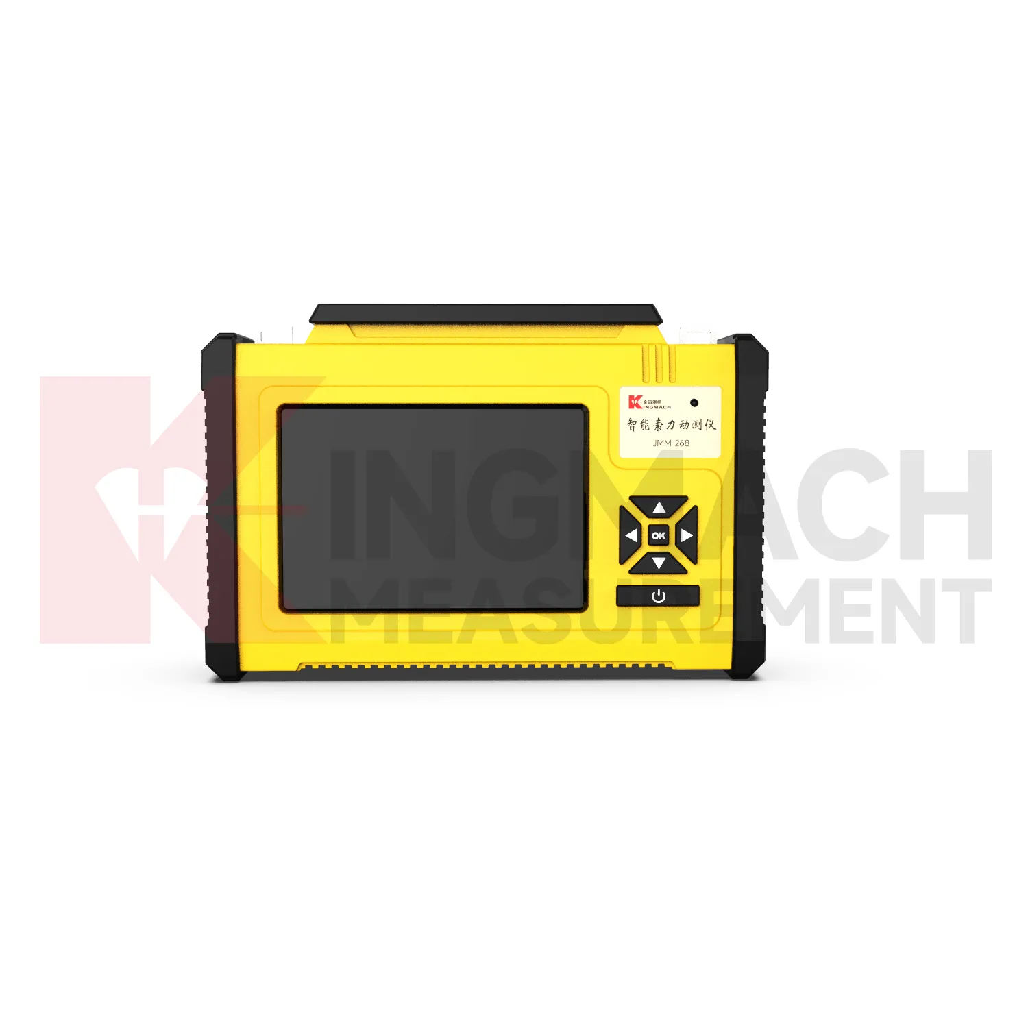
Portable readout maintenance for Kingmach gps data loggers should focus on field readiness. Before an inspection route, check battery charge, display condition, connectors, storage space, sensor cables, and export method. Field crews should also confirm that the device time is correct because time stamps are part of the monitoring record. After the route, export and back up readings before the next job overwrites or confuses the file. A readout that is ready before the visit saves time on site and reduces the chance of returning for missed measurements. Field readiness also includes route planning. The operator should know which sensors need verification, which cable adapters are required, and where previous values are stored for comparison. After the visit, any unusual reading should be linked with a point name and site condition. This keeps portable measurements useful after the crew has moved to the next structure. and supports later reporting. for owners. consistently.
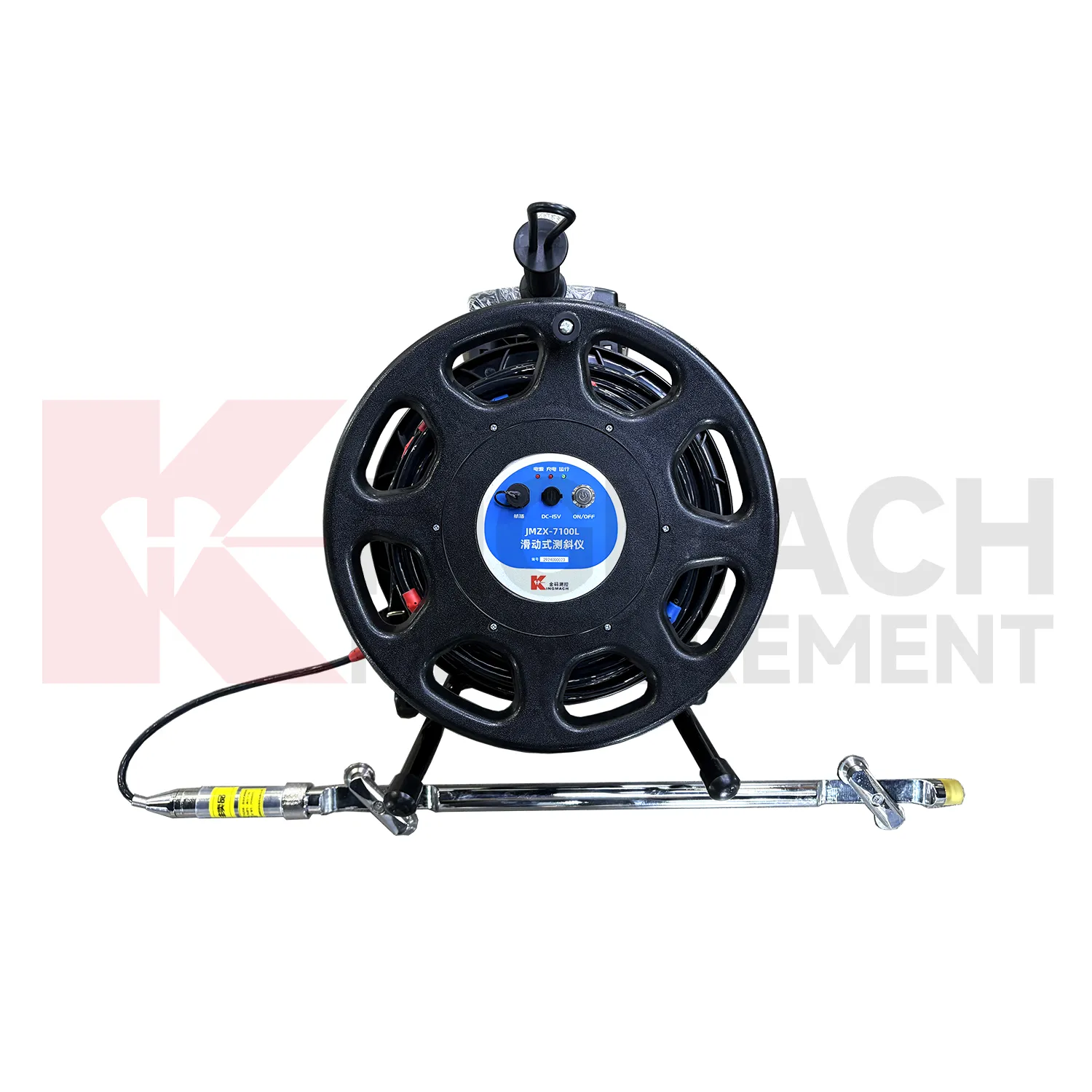
Kingmach gps data loggers
For Kingmach gps data loggers, usability in the field is as important as acquisition capability. A device may be technically capable, but it still needs clear operation, readable display, secure connectors, stable power, and a practical method for exporting data. Field crews often work in tunnels, slopes, bridge decks, dam galleries, or construction zones where time and access are limited. A well-planned readout or logger reduces repeated site visits because the operator can confirm the point, store the record, and move on with confidence. This is especially useful when many sensors must be checked in one inspection round. Field usability also depends on small details: charged batteries, clean connectors, readable screen prompts, clear file names, and enough storage before the route begins. When those basics are ready, technicians can spend their time checking sensors instead of troubleshooting the instrument. during each site visit. without avoidable delay. for crews. on site safely. consistently.
FAQ
Q: Where are these devices used?
A: They are used in bridges, tunnels, dams, slopes, buildings, foundation pits, railways, mines, industrial testing, and other monitoring projects.
Q: Why combine readouts with loggers?
A: Readouts confirm field points during visits, while loggers keep collecting data between visits. Together they support both verification and continuity.
Q: What should a remote station show?
A: A remote station should show acquisition status, last upload time, power condition, active channels, storage condition, and recent maintenance history.
Q: How do these devices support reports?
A: They keep readings traceable by time, channel, sensor type, location, and device status so engineers can explain trends and events more clearly.
Q: What causes confusing readings?
A: Loose cables, wrong channel names, weak power, wet enclosures, changed settings, sensor faults, or real site changes can all create confusing records. The record stays useful when point names, channel labels, sensor type, measurement time, and field condition are kept together, because later reviewers can connect the number with the actual structure and inspection history.
Reviews
Joshua Clark
We ordered a full monitoring solution including sensors and data loggers. Everything works seamlessly together. Great supplier!
David Wilson
We purchased displacement transducers and settlement sensors, and the quality exceeded our expectations. Easy installation and reliable performance.
Latest Inquiries
To protect the privacy of our buyers, only public service email domains like Gmail, Yahoo, and MSN will be displayed. Additionally, only a limited portion of the inquiry content will be shown.
Mia***@gmail.comNetherlands
Dear team, we are interested in your readouts & data loggers compatible with multiple sensors. Do yo...
Isabella***@gmail.comGermany
Hello, we are evaluating weir flow meters for a water management project. Please share accuracy deta...
Related product categories
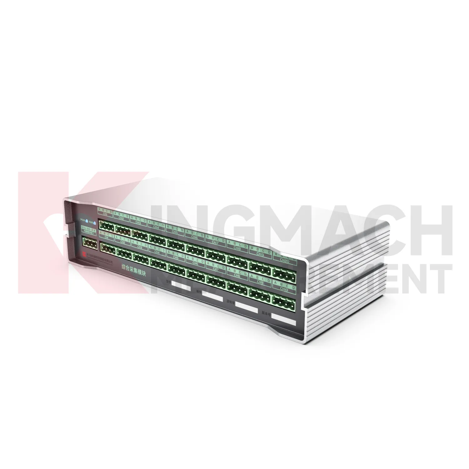
- Integrated Comprehensive Acquisition Module
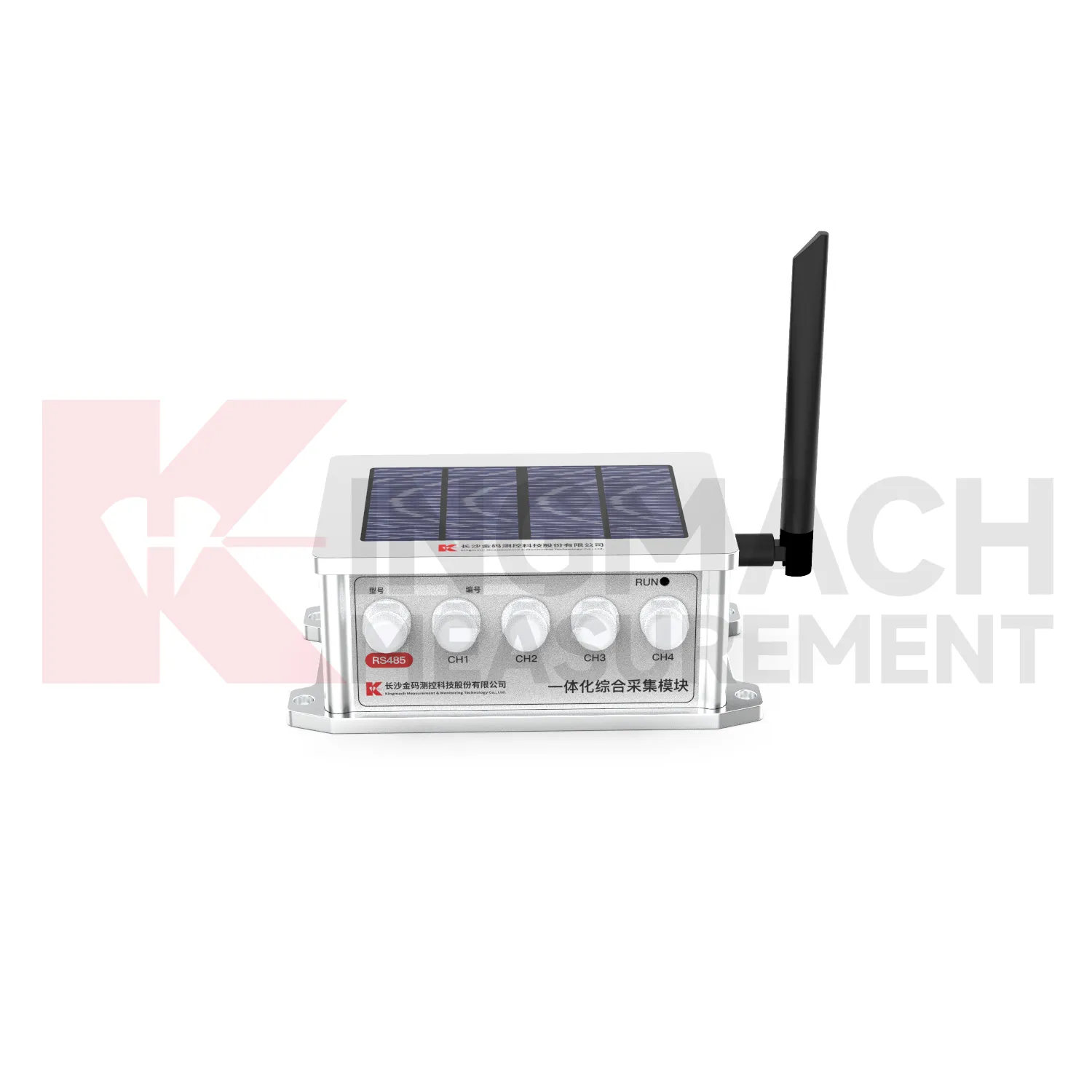
- Wireless Data Logger (low power consumption design)
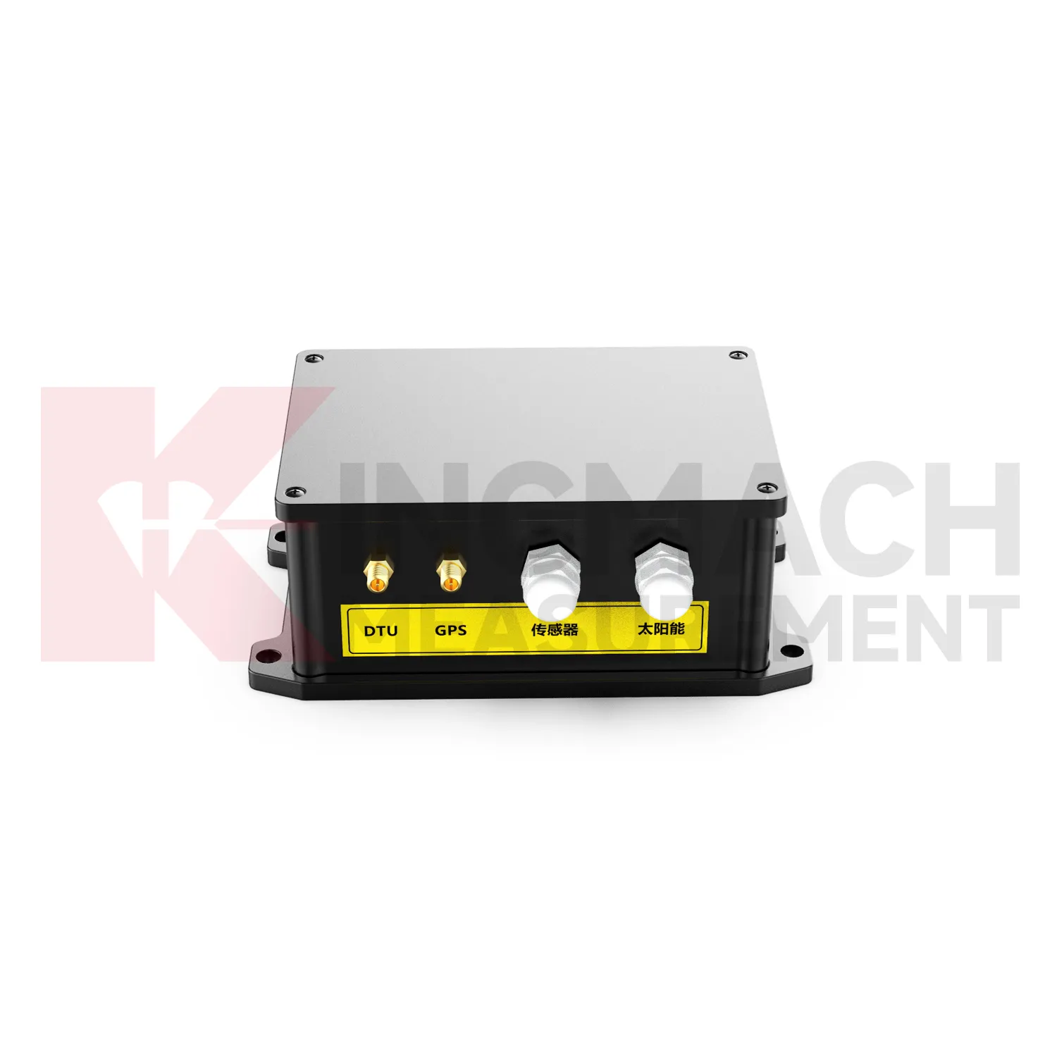
- Data Loggers
- jointmeters
- Communication Systems
- Software Platform
- Survey Equipment
- Data management software
- Monitoring Software Suite
- Groundwater modeling software
- Data Acquisition Systems
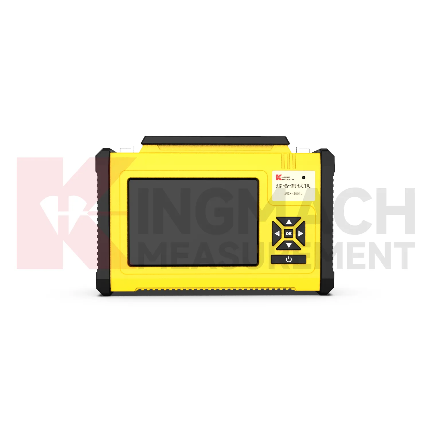
- Portable Vibrating Wire Dynamic Strain Data Logger